Port Congestion Index
Methodology v1.0 · Experimental Release
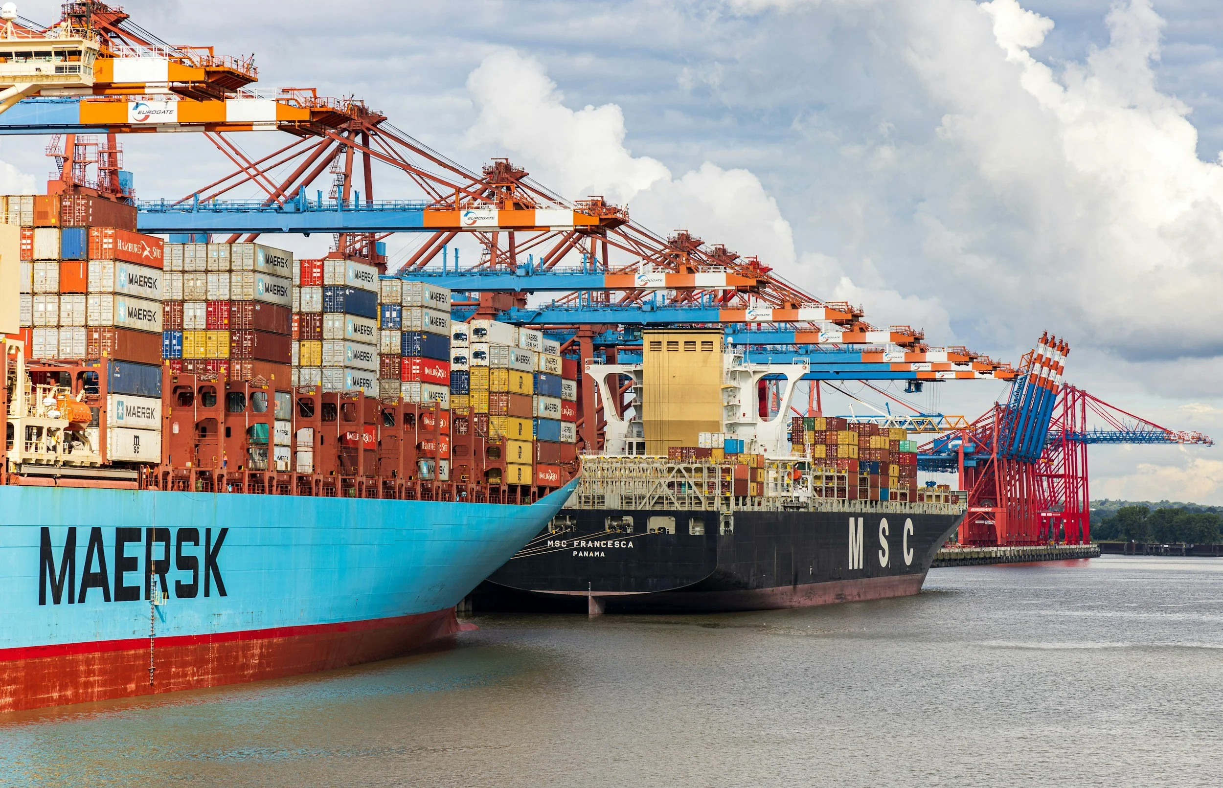
The Port Congestion Index (PCI) uses satellite radar imagery to monitor vessel accumulation at key global ports and maritime choke points. Anchorages are fixed and selected to best reflect container traffic and provide consistent observation points across major trade corridors. Weekly values are expressed as Z-scores relative to a 2025 baseline, where higher values indicate above-normal congestion.
Frequently Asked Questions
-
The Port Congestion Index (PCI) is a satellite-based indicator that tracks vessel build-up at key global ports and maritime choke points.
It measures how many vessels are waiting in designated anchorages and compares that number to a historical baseline. The result is a standardized congestion signal that highlights unusual build-ups in global shipping.
It is not based on port press releases or survey data. It is based purely on radar satellite imagery.
-
The PCI runs an automated process:
Pre-defined anchorages near major ports are monitored (see examples on this page below).
The latest Sentinel-1 radar image fully covering those areas is selected.
A ship-detection algorithm identifies vessel-sized radar returns.
Ships are counted at 10-meter resolution.
The count is compared to a historical baseline using a Z-score.
A positive Z-score indicates above-normal congestion.
A negative Z-score indicates below-normal congestion.The methodology is intentionally standardized and version-controlled to ensure consistency over time.
-
The Port Congestion Index measures the number of vessels waiting at selected anchorages, not congestion itself. In many cases the two move together, but they are not identical.
First, ships do not always wait at anchorages when congestion occurs. Vessels may reduce speed offshore, queue within traffic separation schemes, or remain at berth while delays propagate through terminal operations. In these situations congestion may be present without a visible accumulation at anchor.
Second, the opposite can also occur. Temporary increases in anchored vessels may reflect operational factors such as scheduling, weather interruptions, pilot availability, or tidal constraints rather than structural congestion at the port.
Third, the baseline year 2025 was a highly disrupted year, largely due to the Red Sea shipping crisis. If 2026 turns out to be smoother operationally, congestion signals may appear less extreme relative to that baseline.
For this reason the PCI should be interpreted as an indicator of vessel accumulation patterns, which often correlate with congestion but do not capture every operational circumstance.
-
The PCI uses:
Sentinel-1 Synthetic Aperture Radar (SAR) imagery
Google Earth Engine for scalable image processing
AIS-based maritime intelligence (used for anchorage identification and validation)
Sentinel-1 is particularly suitable because radar penetrates clouds and operates day and night, ensuring consistent global coverage.
The PCI does not rely on proprietary port disclosures or manual reporting.
-
The index currently tracks major global container hubs and strategic maritime choke points, including:
Shanghai
Shenzhen
Singapore
Busan
Nhava Sheva
Jebel Ali
Rotterdam
Antwerp
San Pedro Complex (Los Angeles)
New York
Panama Canal approaches
Suez Canal approaches
In total, 28 defined sub-anchorages are monitored across 12 global locations, covering 897 km².
Each anchorage is individually mapped and remains fixed unless formally version-updated.
-
The index can be used to:
Detect early signs of supply chain stress
Monitor global trade flow disruptions
Track macroeconomic shipping cycles
Assess port-level congestion events
Supplement freight rate and logistics analysis
It is particularly useful when interpreted alongside freight indices, trade data, and geopolitical developments.
-
Yes.
Ports can be added if:
There is sufficient satellite coverage
Clear anchorage areas can be defined
The location adds analytical value
New ports are added independently and do not affect historical results in other locations.
-
No - and this is an important limitation.
Radar imagery cannot reliably distinguish container vessels from bulk carriers or tankers at 10m resolution. Anchorages are selected based on where container ships frequently wait, but the PCI is technically a vessel congestion index, not a pure container-only count.
Historically, the method has successfully captured known container congestion events despite this limitation.
-
Validation is performed by:
Manual review of radar imagery
Cross-checking against AIS vessel data
Comparing detected events against known congestion episodes
The algorithm has been tested across multiple ports and market conditions. Future edge-case testing (e.g., heavy sea states) is ongoing.
-
Each port has its own historical baseline derived from prior imagery. At the moment using all available imagery from 2025.
Congestion levels are expressed as a Z-score deviation from normal conditions. This standardization allows comparison across ports of different sizes.
If the detection logic or anchorages are ever updated, the entire historical baseline is recalculated and versioned.
-
Method stability is critical and protected by our policy:
Anchorages are fixed.
Detection thresholds are locked.
Changes require version updates and full historical recalculation.
This prevents methodological drift and preserves comparability over time.
Current version: Experimental Release v1.0
You can also read how the index was created here.
Anchorages illustration
All anchorages are manually mapped against nautical maps, AIS data and version-controlled. Changes trigger full historical recalculation. Below are two examples.