Explaining the locations and expansion of China’s busiest ports
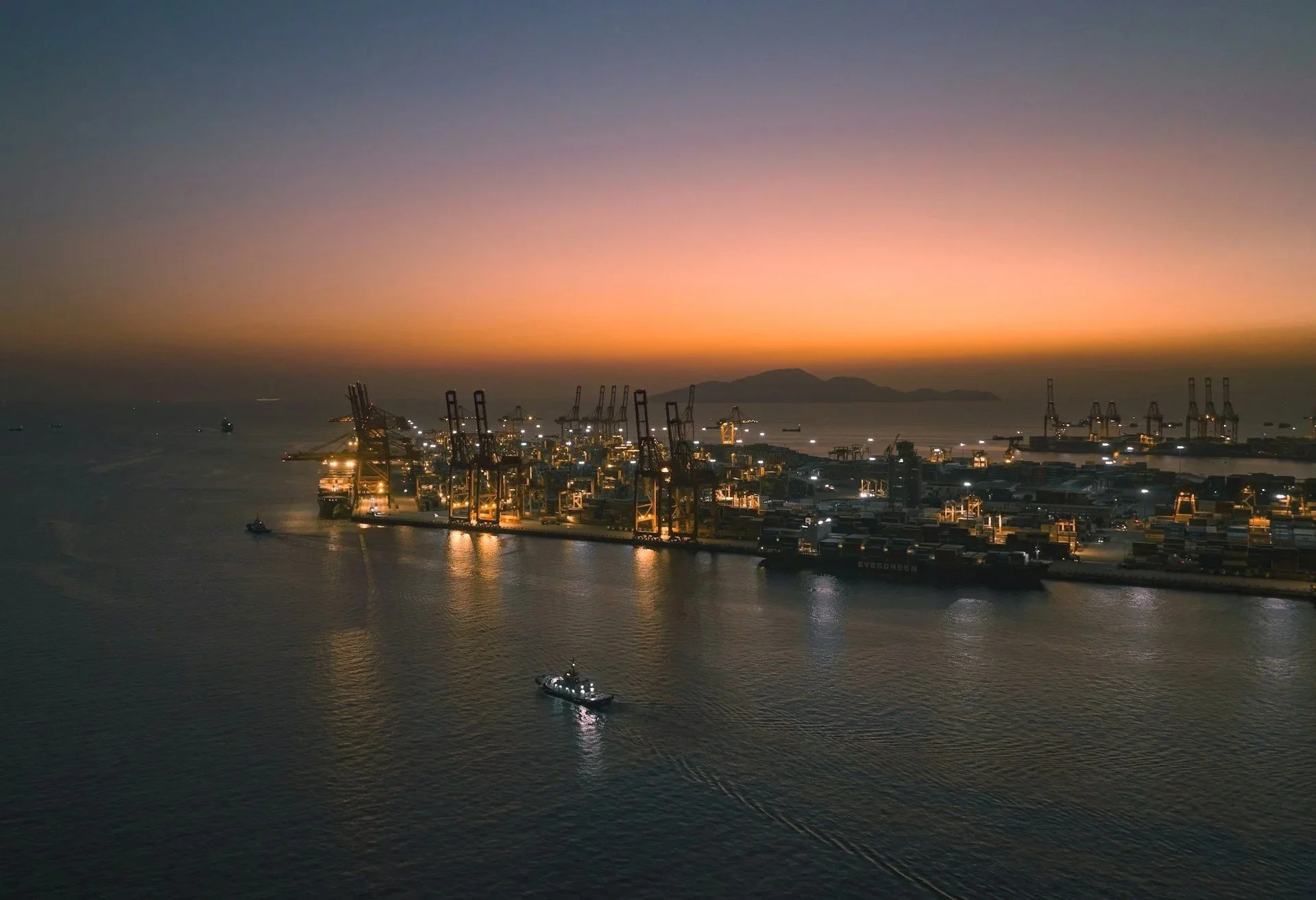
Shekou container terminal in Shenzhen. Photo by Weichao Deng.
This post is part of the “Why here?” infrastructure series, where we explore why critical infrastructure sits where it does.
Six of the ten busiest container ports in the world are in China as of early 2026. The reason is that China is the world’s largest science and manufacturing powerhouse and a resulting export hub.
Today we kick off the Orbital Vantage “Why here?” infrastructure series, where we explore why critical infrastructure sits where it does. We limit our scope to geography seen primarily from orbit, and keep history and explicit socio-economic-political angles at bay. In most cases geography explains the rest anyway.
Our first case explains how rivers shaped the locations of China’s six busiest ports.
1. The Ports
Let’s first put the ports on the map. The image below shows a monthly SAR mosaic using Monja Šebela’s urban SAR colouring. Built-up areas light up clearly. The upper centre part of the image of China looks like a network of activity and cities, with key coastal cities visible as bright clusters. If we had to guess where six of the busiest ports are based on the map, we’d get close just by targeting the brightest areas.
China’s built areas seen with Monja Šebela’s urban SAR colouring. The bright clusters are distinct radar returns from buildings and other constructed objects.
2. Water shapes cities
Globally, you can explain almost all major cities’ location by proximity to water. In addition to drinking water, it hydrates the livestock, irrigates croplands, cools and feeds industrial processes and allows easy transportation of goods. This rule has stood for thousands of years.
Riyadh in the middle of the Arabian desert? Built on top of historical underground aquifers. Mexico City? Built on a now gone lake. And the more obvious ones like European capitals are all sea-, lake- or riverside. Largest US cities are on both coasts, despite the country originally building from the East.
You can see where this is going and we weren’t even talking about ports yet. So moving to the six Chinese ports we could almost stop here and say “they are the ones with the best water access”. But the picture becomes more interesting once we look at China’s river systems and the ports’ micro-locations.
Long before the world's oceans were sailed by container ships, rivers were already used for shipping. China happens to have several extremely large river systems connecting the interior of the country to the coast. These rivers shaped the location of cities, agriculture, industry and eventually ports.
When we group the six megacontainer ports below, they align almost perfectly with the three major river systems.
Yangtze
Pearl River
Yellow River
China’s main river system’s largest bodies, and the busiest ports with their ranking number in 2025.
We could go into detail about other drivers that explain China’s growth, but they don’t meaningfully improve our macro-explanation for port locations nor are easily visible from space. But it is safe to say that abundant deposits of coal, minerals and metals across China’s eastern regions have greatly benefitted the industrial development.
3. The Yangtze river system ports
Ports
Shanghai
Ningbo–Zhoushan
The Yangtze River is the longest river in Asia. Its watershed connects a huge inland corridor stretching thousands of kilometers across central China with major cities along the way. The Three Gorges Dam stands at its western reaches, regulating waterflow.
Shanghai sits right at the river’s mouth and effectively functions as the maritime gateway to the entire Yangtze system. Ningbo-Zhoushan sits close to the south and supports access to the Yangtze region.
Micro-locations & Port expansion
The micro-location of major (container) ports is typically determined by three main geographic constraints: Water depth, shelter and space.
Shanghai originally developed as a river-mouth port, like so many other ports in the world, but faced expansion limitations. The Yangtze estuary is shallow due to heavy sediment deposits and it carries extremely dense barge traffic moving goods throughout China’s interior (a thing I learnt the hard way developing the Port Congestion Index). As container ships grew to 300–400 meters in length, maneuvering them within the crowded estuary became increasingly difficult.
Shanghai old port area in the river mouth and the seaward expansion. The beige waters are sedimented and shallow coastal waters.
The solution was to move the port out to the sea. The Yangshan Deep Water Port was built on offshore islands approximately 30 kilometers from the mainland and is connected by a bridge. This location gives natural water depth and sufficient space, while still maintaining logistical connection to the mainland.
Nearby Ningbo–Zhoushan also originally grew as a river-mouth port from Zhenhai. Sheltered by islands and naturally deeper coastal waters, it had better conditions from the start. But as traffic volumes increased the port expanded seaward multiple times, developing large new terminals with Dapukou and Meishan being newest.
The expansion of Ningbo-Zhoushan’s container terminals from Zhenhai. Chronologically, Dapukou followed Chuanshan despite the arrow from Daxie above.
4. The Pearl River delta ports
Ports:
Guangzhou
Shenzhen
The Pearl River delta region contains one of the largest manufacturing ecosystems on the planet - a fact my georgaphy teacher in junior high 20 years ago was keen to stress. Cities such as Shenzhen, Guangzhou, Dongguan and Foshan form a continuous industrial landscape across the delta. Hong Kong and Macau sit just at its southern edge.
This was one of the earliest regions to embrace export-oriented manufacturing during China’s economic acceleration. As factories multiplied across the delta, container ports grew alongside them.
Micro locations & Port expansion
Like the Yangtze region, the Pearl River Delta initially relied on river-mouth ports that provided direct access to the inland waterways connecting factories and cities throughout the delta, and has accordingly faced the exact same expansion problems.
Expansion directions of Guangzhou and Shenzhen ports.
Guangzhou's old Huangpu port is an impressive 50 kilometers upstream the river, close to the city. It is still a massive port but at this point, you can guess what happened. They built the new Nansha Port 50km seaward right at the mouth of the river and closer to the open sea.
On Shenzhen’s side, major container terminals like Shekou and Chiwan on the river mouth met their limits and the Yantian port was built 40km away to the Mirs bay, where deeper water and sheltered coastline provided better expansion conditions for large container ships.
5. Yellow River & The Bohai industrial rim ports
Ports:
Tianjin
Qingdao
In northern China the waterway pattern is not as obvious from orbit, but Huanghé (Yellow River) in the region is considered the cradle of Chinese civilization.
The capital Beijing sits inland away from coast and Yellow river and is an exception to the rule that water defines major cities’ locations. Beijing is instead in a strategic chokepoint, enabling military control of the region. But as a major city, it required a nearby port to serve its needs.
That role falls to Tianjin, which functions as the primary seaport for the capital region.
Further south and closer to the Yellow River, along the Shandong Peninsula lies Qingdao, a port that is the least obvious on our list. Established by the Germans as a naval base, it most importantly has a unique natural harbour with direct access to the Yellow Sea. Shandong province around it grew because of the fertility of the Yellow River and coastal proximity.
Micro-locations & Port expansion
The micro geography of the Bohai region differs from the other ports. Notably, there is no large port on the Yellow River mouth due to the shallowness and erratic flooding, despite its critical role in the region’s historical growth.
Tianjin still grew as a river-mouth port (Hai He river, connecting to Beijing), but faces one of the most challenging coastlines among China’s major ports. The entire Bohai Sea is extremely shallow at only 18 meters of mean depth, largely due to sediments from the Yellow River. Natural deep-water harbours here are rare but do exist.
Instead of relocating the port for expansion, Tianjin expanded through massive dredging and land reclamation projects. The port currently reaches 16km out to sea from the natural coastline.
See the darker water indicating dredged bottom, and how the port has expanded seaward from the natural coast.
Qingdao, by contrast, benefited from the opposite and is the only non-river mouth port on the list today. The Jiaozhou bay where it resides, is one of the few naturally deep and sheltered harbors along China’s northern coastline. Port expansion has therefore taken place along the edges of the bay, though also with some land reclamation.
The main port area including the massive container terminal sheltered in the bay.
Conclusion
China’s port dominance is often explained through economics, industrial policy or global trade dynamics. I was certainly thinking of more complex logics before this exercise, but when viewed from orbit the geographic pattern becomes simple.
China’s largest population centers formed along fertile river systems and coastal plains. Industry followed population and ports followed suit. The six busiest container ports in the world sit where geography funnels economic growth toward the sea.
See you,
Orbital Vantage