Tracking wind farm construction from orbit: Case Hornsea 1-2, UK
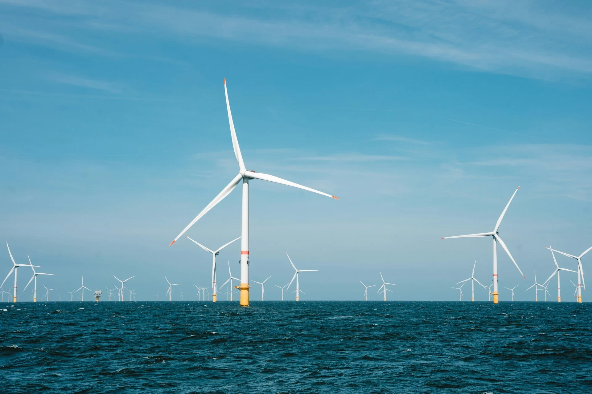
A North Sea wind farm. Photo by Jesse de Meulenaere
This post is part of the “Measuring from Orbit“ series, where we turn satellite data into measurable signals of how the world is changing.
Tracking infrastructure projects is hard. They are announced with clear plans, but for outsiders it’s not clear what is actually happening. Are the projects proceeding as announced?
Today, we take the example of the largest operating windfarm in the UK, the offshore Hornsea 1 & 2, and see if we can track its construction in 2018-2022 with radar satellite (SAR) data turbine-by turbine.
The first phase has 174 turbines, the second 165 with a total of 339.
Hornsea 1 & 2 offsore the UK coast. Constrution schematic call-out from Ørsted
1. What we can see
I want to be able to track the area regardless of daylight, cloud cover and sea state and thus resort to radar satellites that help bypass the challenges of optical view. Below is a March 2026 radar view of the Hornsea windfarm. It’s big.
Those neatly lined-up dots are wind turbines. While strong seas can make the interpretation messy, this image shows I likely have an easy time detecting and counting the turbines as the returns are bright.
Hornsea 1 & 2 in Sentinel-1 SAR return with a highlight of a single turbine return.
2. What we can measure from a single image
Without a counting algorithm, one would have to manually calculate from satellite images every month and add a new line to excel. That is tedious work.
Fortunately, Orbital Vantage has experience with sea surface radar return counting through our Port Congestion Index, where I automatically count ships in various anchorages. Even more fortunately, when it was created, it was optimized to count smaller but distinct radar returns. I was hoping it is sufficient to also count the small wind turbine dots and gave it a go.
Optimising the approach
Often I get an imperfect return at first in these experiments. This time it worked rather well from the start and roughly 400 countable dots appeared on the visual validation layer. 17% too much but could have been worse. See below example.
The dots are wind turbine SAR returns converted into countable dots in GEE. Before optimisation they were still double or triple counted.
The small returns from turbine blades were far apart creating multiple counts and the automated bridging wasn’t working. I had to pivot the bridging logic and with the help of AI, turned to a clustering trick. This worked and produced a reliable count that was within 0-3% of the real value. Good enough for 15 minutes of work, with the added benefit that the small fleet of construction vessels are not counted unless they are on the move.
There are various other things that could still go wrong in the counting, like heavy seas disrupting detection or construction phase ambiguity.
3. Counting over the years
I decided to leave further optimisations for perfectionists and jumped to running the script from January 2018 to August 2022, though counting only one image every second month to save some cash in the GEE computing.
After an expensive-feeling wait, I got the result and it wasn’t good. Many of the counts made no sense at all, but I quickly noticed the images were coming from different viewing angles (orbits), some not even fully covering the study area.
As an easy fix, the orbit was locked to a descending one that provided the most stable and coherent count over the area, and the script was run again. In simple terms, this was the equivalent of only using and comparing photos taken from the same viewpoint.
4. Results
Below the results. The series starts from zero in January 2018 when Hornsea 1 kicks off and rises to ~350 by the end of Hornsea 2 completion. There are two intensive periods of construction and a plateau between the phases.
Results graph
There are a few low counts early in the project that don’t seem right, but real world data isn’t perfect and there could be a number of reasons. But a few discrepancies don’t confuse the big picture.
A more interesting question is: How is the script only counting completed turbines and not the monopile (foot of the turbine) under construction that also has a clear radar return? The answer is simple: The detection threshold is strict enough that only the brighter and larger returns from ready turbines are counted. The image below shows the difference between an unfinished and finished turbine.
Comparison of radar return of an under-construction and ready turbine shows clear difference in both brightness and area, making distinct detection easy.
5. Why this matters
This was a simple proof-of-concept operation with a development time of 15 minutes, and run with freely available imagery.
Yet it already answers the key question: How is the construction of a wind farm progressing week by week, or month by month? With our approach, there is no need to find news, reports or call project managers.
Conclusion
This technology would have helped us personally 10 years ago. It also displays the seaborne scalability of Orbital Vantage experiments: Counting ships is not different from counting wind turbines.
See you,
Orbital Vantage